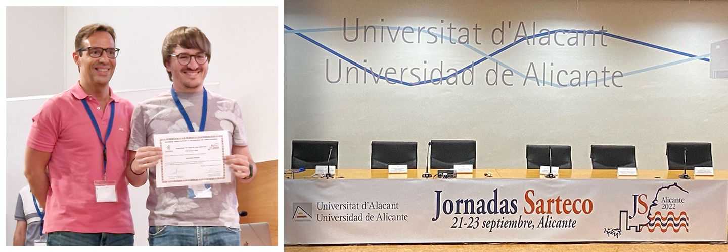
Álvaro Ordóñez wins one of the 'Thesis in 3 Minutes' prizes at the 32nd Parallelism Conference
The centre's postdoctoral researcher wins a prize for his thesis in the T3M ('Tu Tesis en 3 Minutos') competition, organised by the Spanish Society of Architecture and Computer Technology (SARTECO).
Álvaro Ordóñez, postdoctoral researcher at CiTIUS, has just been recognised with a prize in the Your thesis in 3 minutes (T3M) competition, an initiative promoted by the *Spanish Society of Architecture and Computer Technology (SARTECO) in the framework of the XXXII Jornadas de Paralelismo, held recently in the city of Alicante.
The aim of this competition, inspired by the original Three Minutes Thesis idea of the University of Queenslan (Australia), is to promote the communication skills of those theses defended in the last year in the field of knowledge of the Society. Participants have only three minutes and a still image to explain the objectives, motivation, contributions and results of their doctoral thesis.
In its decision in favour of the CiTIUS researcher, the SARTECO jury assessed, among other issues, the clarity of the presentation, the ability to communicate effectively, the quality of the presentation, time management and the appropriateness of the transfer of support.
Years of work summed up in three minutes\
Álvaro Ordóñez's thesis is the result of doctoral work developed over the last few years at CiTIUS (Singular Centre for Research in Intelligent Technologies at the University of Santiago de Compostela). Under the title Efficient Registraton of Multi and Hyperspectral Remote Sensing Images on GPU, this approach -directed by professors Dora Blanco and Francisco Argüello-, has focused on the development of efficient algorithms to automatically align multi- and hyperspectral remote sensing images. The scientific proposal arises from the need for algorithms capable of processing the enormous amount of information contained in this type of images, thus taking advantage of the huge amount of data with information about the planet that is captured daily from multiple sources, such as satellites, drones or aircraft.
As a result of this multi-device capture, there is a need to align images taken on different dates and from multiple platforms for use in different applications; the aim is to be able to better cope with environmental emergencies, such as the evolution of climate change or a natural catastrophe similar to the recent volcano eruption on the island of La Palma.
The research undertaken in the framework of this doctoral thesis has resulted in the publication of several algorithms capable of exploiting spectral and spatial information to obtain better alignments, and to do so in a very short computational time. This has been achieved through parallel implementations on NVIDIA GPUs and high-performance computing clusters.