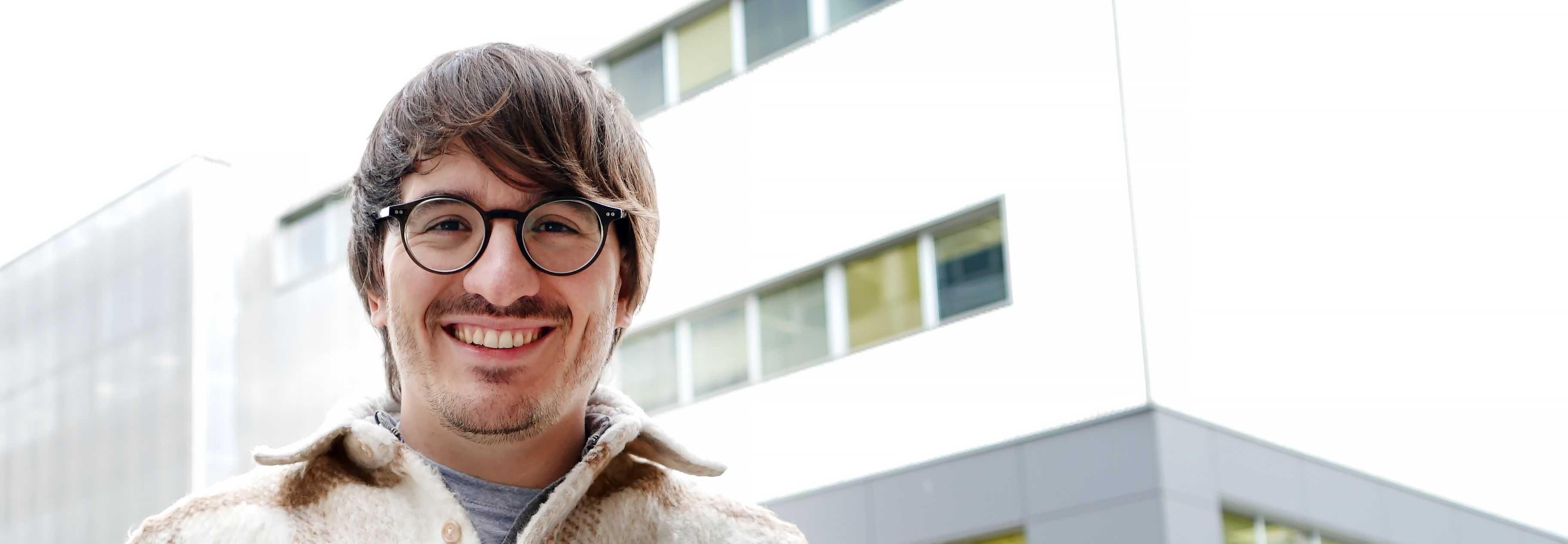
Álvaro Ordóñez wins the Best Thesis Award of the IEEE Spain Geoscience and Remote Sensing Chapter
The organisation in charge of 'uniting and leading Spanish science in earth sciences and remote sensing' distinguishes the CiTIUS researcher in the sixth edition of these annual awards, which constitute one of its central activities, and with which it highlights the quality of the work in the field of remote sensing presented at Spanish universities.
Álvaro Ordóñez, a graduate researcher at CiTIUS and currently a collaborating researcher at the centre, will receive today the Award for the best remote sensing thesis of 2021. In the sixth edition of these Awards, granted by the Spanish chapter of the IEEE-GRSS (Geoscience and Remote Sensing Society) of the prestigious IEEE (Institute of Electrical and Electronics Engineers, a worldwide association of engineers dedicated to standardisation and development in technical areas), the jury wanted to highlight the quality of the works presented, emphasising that "they made interesting contributions to the scientific field of computation, as well as to remote sensing".
"It is always gratifying to have your work recognised, and especially when it is a prize for your thesis, since it is the result of several years of research work," says Álvaro Ordóñez. The researcher also reflects on the value of teamwork: "I see the prize as recognition not only on a personal level, but also as a group, since in a thesis the directors also play an important role, and in the end the prize is an indicator that we are on the right track," he explains.
Harnessing the richness of data
Álvaro Ordóñez's thesis, entitled 'Efficient Registration of Multi and Hyperspectral Remote Sensing Images on GPU' and directed by USC professors Dora Blanco (researcher at CiTIUS) and Francisco Argüello, addressed during the last years the development of efficient algorithms to automatically align multi- and hyperspectral remote sensing images.
The original idea arose from the need for algorithms that would make it possible to take advantage of the large amount of information contained in this type of images: the idea was to develop tools capable of processing the enormous amount of data that is captured daily over our planet, both from satellites and from UAVs (drones) or aeroplanes. "To take advantage of all this information, we have to align images taken on different dates and from different platforms, in a multitude of applications... for example, to carry out precision agriculture, or to observe the evolution of natural disasters," explains Álvaro.
The research carried out during this thesis resulted in the publication of several algorithms to exploit spectral and spatial information to obtain better alignments and, on the other hand, to do so in a very short computational time, thanks to parallel implementations on NVIDIA GPUs and high-performance computing clusters.
The awards ceremony will take place today, Friday 3 March, during an online event, in which the winners will give a brief retrospective of their academic careers and lines of research.